
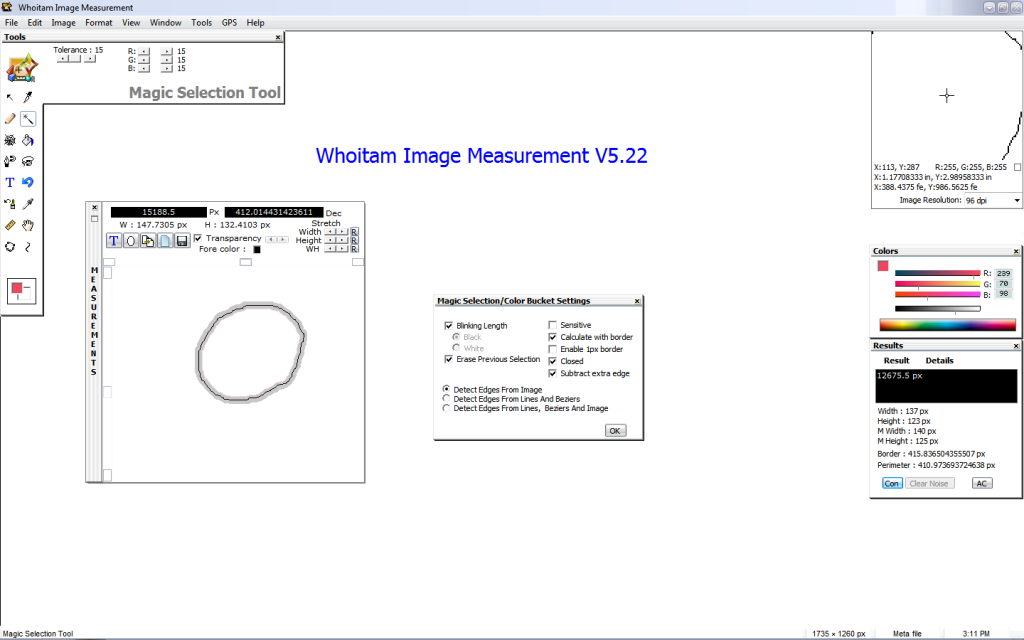
For accurate map measurement the selection have to go through the center of the map border. But if your map border is thick then you have to grow the selection for setting it through the center line of the border. By measurement palette you can grow or shrink the selection separately width or height or both and you will get the area, width, height of stretched selection same time.
For example, if your border is 2px thick and after selection and clearing noise width is 129px in Result palette. Then new width in measurement palette have to be 130px. If you are measuring map then don’t forget to enable the “Calculate with border” option.