
The land is our most valuable resource. It is indeed much more than this: it is the means of life without which we could never have existed and on which our continued existence and progress depend. The resources of the land are neither inexhaustible nor indestructible, as many men and women have already found to their cost. Resources that had taken many millions of years to accumulate have been squandered or allowed to waste away in a few decades, and this squandering and wastage is continuing wherever definite measures to stop it are not being undertaken. Some of the resources of the land, for example, deposits of metals, coal or oil, are not in practice renewable nor can they be both preserved and used. Many other resources can be preserved and even improved in use. It is essential to the mere continued existence of human life on earth, to say nothing of our continued and increasing prosperity, that the resources of the land should be known as accurately as possible. The limitations of those resources which cannot be renewed should be understood and their unnecessary waste avoided, while renewable resources should be carefully conserved and used without waste or damage. It should be our aim to hand on the natural heritage improved, or at least unimpaired, to future generations.
Land surveying is basically an art and science of mapping and measuring land. The entire scope of profession is wide; it actually boils down to calculate where the land boundaries are situated. This is very important as without this service, there would not have been railroads, skyscrapers could not have been erected and neither any individual could have put fences around their yards for not intruding others land.
Traditional surveying is at least 3000 years old, having been used by the ancient Egyptians to mark out fields after the annual Nile floods and refined by the ancient Greek and Romans in the Classical era. Survey techniques and instruments were then re-invented in the Italian Renaissance with reference to the Arabic scholars of the 1st Millennium. Survey methods were considerably enhanced by inventions in optics, metallurgy and mechanical engineering during the 17th and 18th Centuries, which allowed the development of instruments such as theodolites, levels, compasses and sextants. This generation of optical/mechanical instruments were used to measure the 19th Century primary triangulations on which the mapping of many nations is based. In the late 20th Century digital electronic techniques such as laser distance measuring, electronic logging, GPS and handheld computers revolutionized traditional surveying, although it introduced power demands that had not existed previously.
The name Cadastral is a Latin base term which refers to a registry of lands. Cadastral Surveying is surveying of land so as to determine and define land ownership and boundaries. Most people do not take seriously the issue of surveying their properties before they develop or erect a fence/wall, until they have found‐out that they have spent so much money on those developments etc. Land registration for land management purposes requires cadastral surveying and mapping. Cadastral surveying and mapping includes the procedures to demarcate and identify boundaries of parcels allocated to different users with some kind of right, for instance the right to use the parcel for a specified purpose. The boundaries are surveyed in the field and described on the map. The parcel is given a unique identification number, which forms the base for the registration of the parcel, the user and other information about the allocated rights in a public registry. The specific maps of each parcel are usually compiled to maps, displaying the distribution of land use rights over larger areas, so called cadastral index maps. The purpose of land registration is usually to provide security of tenure for the land user and provide information on land use rights for land administration and taxation to be used by different responsible authorities and the general public. Cadastral data need to be updated whenever a change of the boundaries or of the user rights connected to the parcel occur.
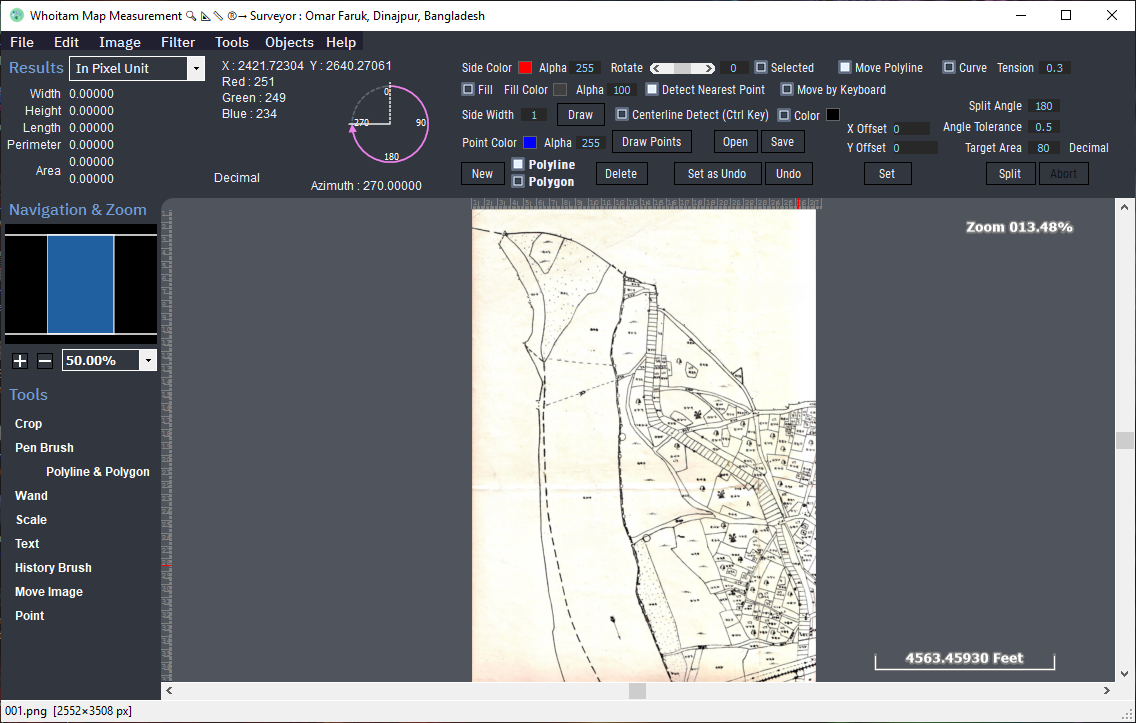
Whoitam Map Measurement is very user friendly and easy to use. It is special for measuring scanned image. It makes easy, difficult process of measuring and adjusting map with few steps. It is accurate with many features. You can zoom to measure small length, get results with common units and real world inch, measure automated area and vectorize it automatically, merge image and measure it on flying, use many filters useful to measure and finally save whole things as a project file.
System Requirement:
- Operating System: Minimum Windows 7 or higher (32 Bit or 64 Bit)
- Processor: Dual Core or higher
- RAM: 2 GB or more
- Disk Space: 500 MB or more
- Microsoft .Net Framework 4.5 or higher installed from Microsoft website or Microsoft installer