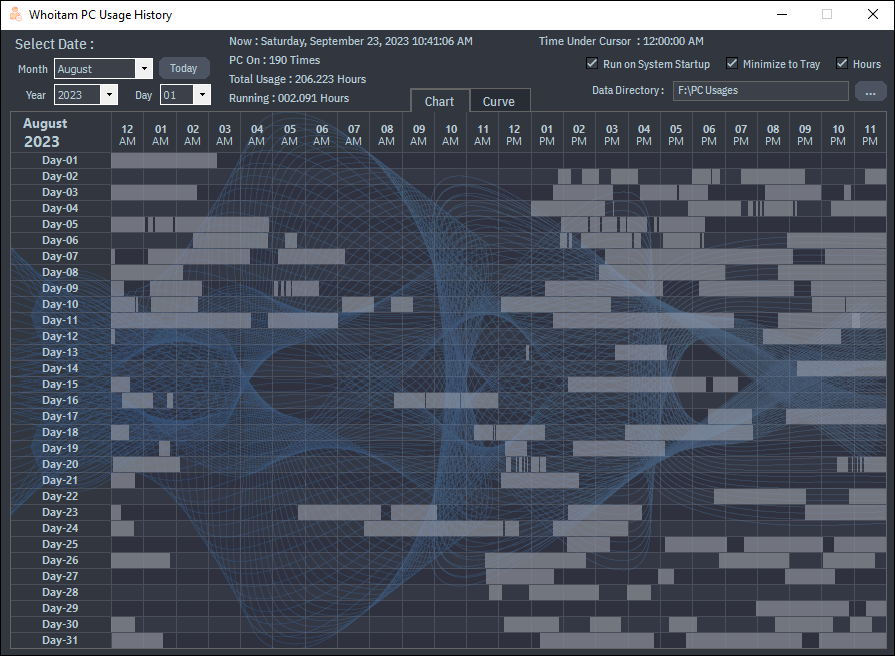
Whoitam PC Usage History automatic monitors when you start and shutdown your pc and save the times. It shows graphically your usage of a total month. You can get here your total pc usage of a month to optimize.
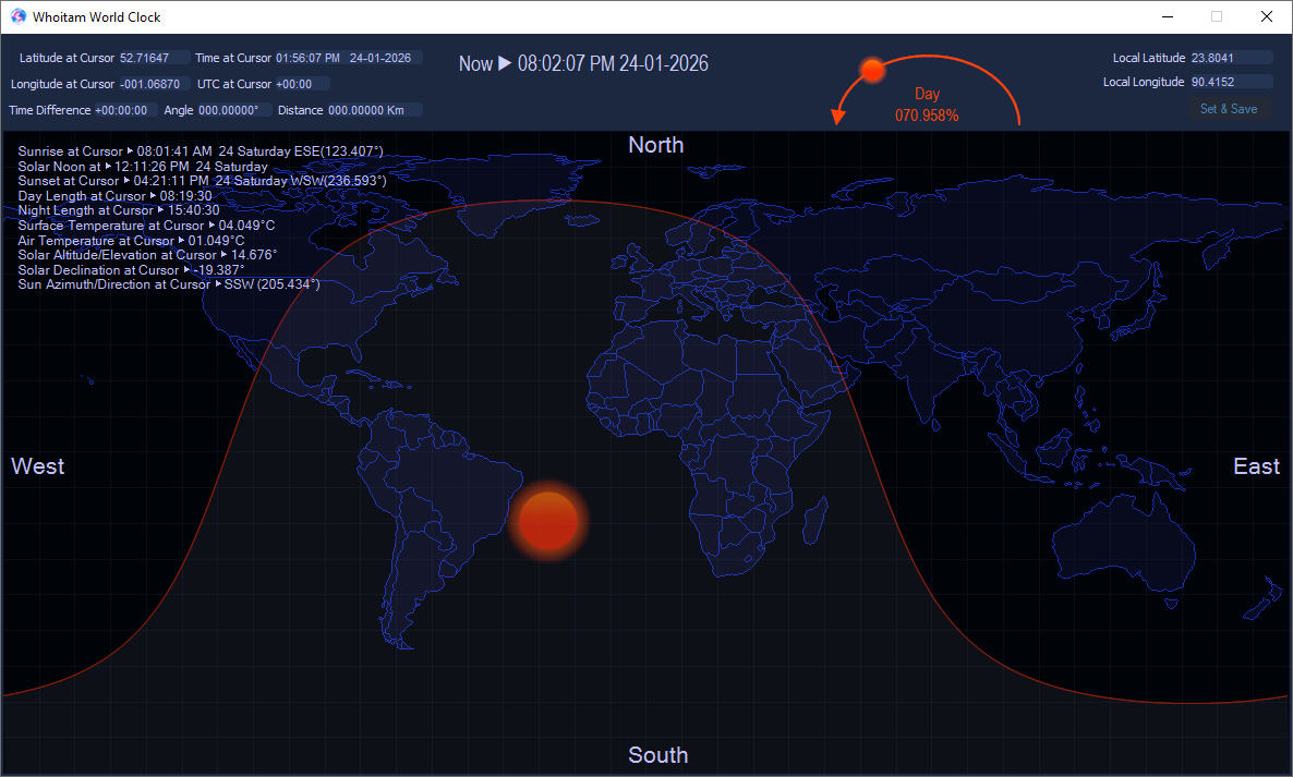
Whoitam World Clock helps you to get local time of anywhere around the world. You can get time difference between two places. Jet Lag Recovery helps you to recover sleep disorder that can occur after long-distance flights.
It is a free Tesseract based offline OCR. It can automatically detect text area and recognize optical characters in image in six languages: Bangla, English, Arabic, Hindi, Chinese, Russian.